The listing we observed
ApartmentUnitFlat
Listing details describe the advertised home. They do not verify its condition or approved use.
- The McLaren · last observed 16 Nov 2026North Sydney suburb intelligence · all Sydney suburbs · building dossier
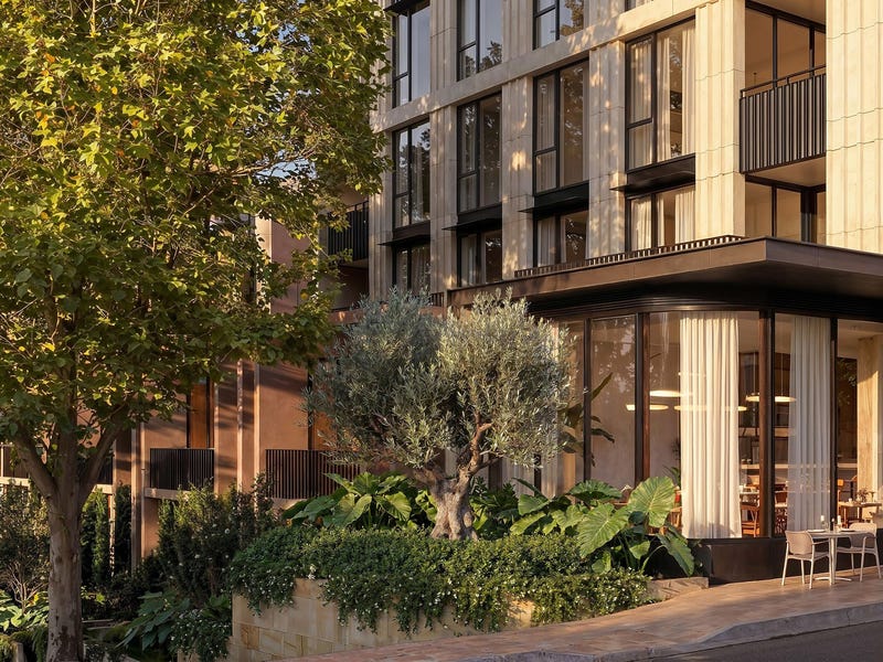
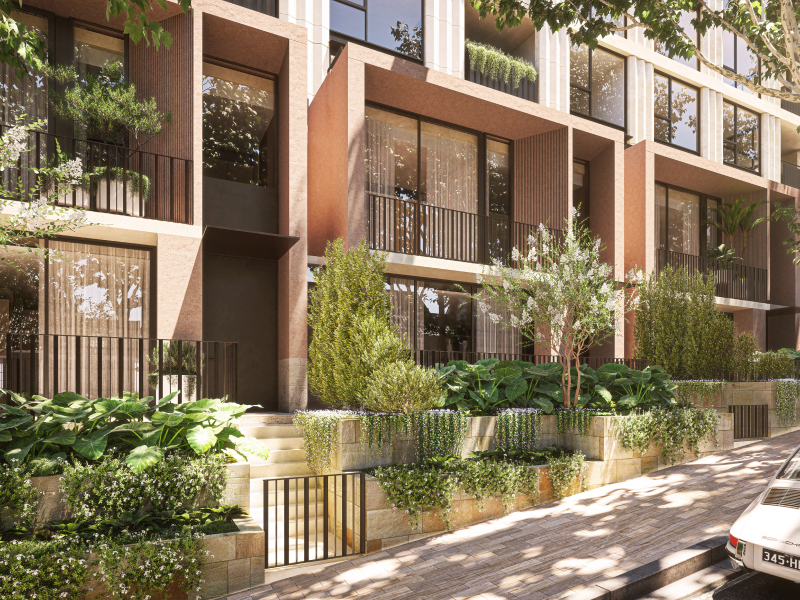
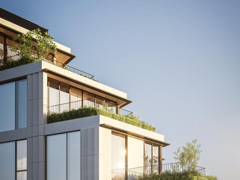
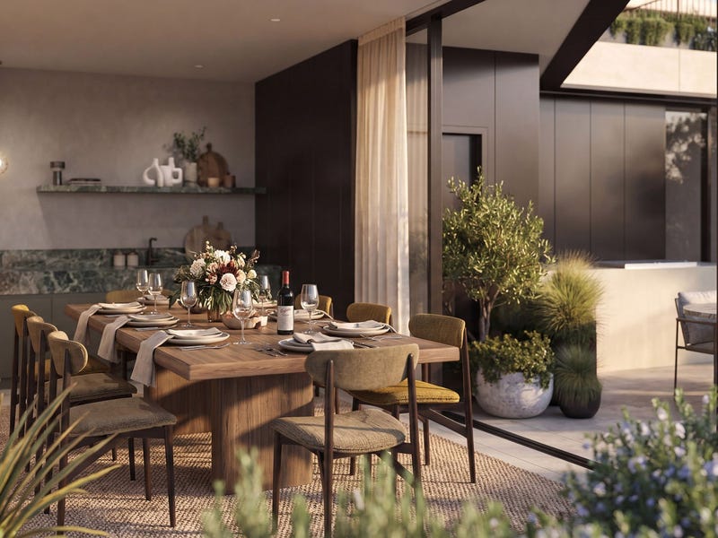
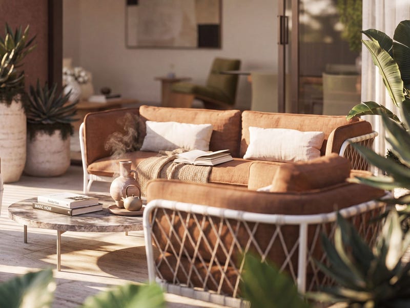
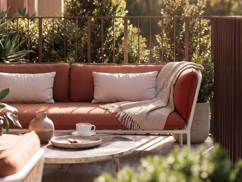
Apartment / Unit
Your buyer evidence guide
The useful records, what they mean, and the questions they leave open. Start here, then explore the evidence below.
The listing we observed
Listing details describe the advertised home. They do not verify its condition or approved use.
- The McLaren · last observed 16 Nov 2026How much price evidence fits
The wider pool is not a set of identical homes. Bedroom count, condition and location within the suburb affect comparability.
Published auction evidence · model trained through 2026-10-23Planning activity nearby
An application is not an approval or a promise that building work will happen. Location and stage matter.
NSW Planning Portal · individual records in Explore the areaThese are recorded events, not evidence of the seller's motivation.
Use these with the agent and your independent advisers. An answer is something to verify, not a fact we have recorded.
The estimate is a model output. The records are evidence. Your inspection and document checks fill the gaps.
This is a comparison with the evidence we hold, not a valuation or a recommended offer.
Confidence: Low — based on 129 comparable auction sales (18 of this exact configuration) · model runs ±11% for this configuration · confidence held at Low — under 20 same-configuration sales · priced from this property's own records: land value · the model's typical miss is ~10% against published results — every hit and miss
crime index: 35 — below sydney average · 1 min walk to Victoria Cross Metro · ~5 min metro to the CBD · trains ~every 4 min at peak
These are due-diligence prompts, not a verdict on this property.
$805/week median new-tenancy rent for units in 2060 (2026Q2, 312 bonds lodged — all bedroom counts pooled).
2019Q1 → 2026Q2: $620 → $805/wk · +4% over the last 12 months (latest four quarters averaged against the previous four) — quarterly new-tenancy medians for units in 2060, all bedroom counts pooled.
Asking rents are what agents hope for; bond figures are what tenants actually signed at (NSW Fair Trading bond lodgements, CC BY). No yield % is derived here: each rent above is a different grain from this home's price, and a ratio of two grains reads as precision it doesn't have. New-tenancy rents run hotter than sitting rents. Not financial advice.
Too few same-bed sales for a measured growth rate yet. Recent quarterly sold medians (all unit sizes — thin samples move these):
2024Q4 $950k (13) · 2025Q1 $859k (3) · 2025Q2 $1329k (10) · 2025Q3 $1050k (3)
Suburb-level, from published auction results. No single building has enough sales for a block-level series, so this is the honest grain; sales-mix shifts move raw medians, and the measured rate (when shown) controls for bed count.
| Address | Sold | Price | Beds | Agency |
|---|---|---|---|---|
| 33/52 High Street | by 17 Aug 2026 | $455,000 | — | Meriton |
Prices as published on the selling agency's own website (their sold pages) — includes private-treaty sales the auction results never see. Only sales the agency chose to publish a figure for appear here.
Shops/offices below, apartments above. Walkable and lively, but denser and busier.
Heritage conservation area — McLaren Street. The property sits in a heritage conservation area — the streetscape is protected, so visible/external changes are controlled. It's area-wide, not this building specifically; it tends to preserve character and value.
Registered lots in North Sydney run 220–720 m² (middle 80% of 14 registered parcels). This one is 1,792 m² — above that range.
Whether a block this size can be subdivided or redeveloped is a separate question: minimum lot size, setbacks and the council's DCP controls decide it, and this page doesn't check them. One point per registered parcel, so a tower's parent lot counts once — not once per unit. Confirm the parcel and its controls with the council before you inspect.
Zone MU1 (Mixed Use) under the NORTH SYDNEY LEP · heritage from the NSW Heritage Map layer, as recorded against this property in the NSW Valuer General's valuation record — a guide, not a parcel-level legal check. Confirm the exact lot at the NSW Planning Portal.
| Where | Proposal | Status | Outcome | Est. cost | Lodged |
|---|---|---|---|---|---|
| This address | Demolition, Residential Flat Building, Mixed Use Development · 71 new dwellings | Determined | not on record | $68.78M | 2023-07-28 |
| ~99 m · 1606, 225 Pacific Highway, North Sydney | Balconies, Decks, Patios, Terraces Or Verandahs, Residential Flat Building · 1 new dwelling | Withdrawn | not on record | $93k | 2020-09-24 |
| ~99 m · 1706 & 1806, 225 Pacific Highway, North Sydney | Alterations And Additions To Residential Development | Rejected | not on record | $32k | 2020-09-22 |
| ~99 m · 1706 & 1806, 225 Pacific Highway, North Sydney | Alterations And Additions To Residential Development | Withdrawn | not on record | $32k | 2020-11-09 |
| ~105 m · 267 Pacific Highway North Sydney 2060 | Recreational Uses | Determined | Approved | $35k | 2021-03-30 |
| ~105 m · 1 West Street North Sydney 2060 | Advertising And Signage, Office Premise, Alterations Or Additions To An Existing Building Or Structure | Determined | not on record | $20k | 2026-04-02 |
Development application data © NSW Department of Planning and Environment, used under CC BY 4.0. Matched at this exact address or within ~150 m of its geocoded point — proximity evidence, not a parcel-level check. Lodged means proposed, not approved or built. Outcome comes from a separate NSW dataset that stops in Nov 2023: applications determined after that, or still undetermined, read “not on record” — which means we don't know, never that it was refused. “Status” is the council's own workflow state and “Determined” on its own does not say which way it went. Verify any application on the NSW Planning Portal.
Building Commission NSW / Strata Community Association 2023 Strata Defects Survey: 53% of newly registered strata buildings reported at least one serious defect in common property (39% in the 2021 survey). Defects are common, not exceptional — and new does not mean safe (Opal Tower was under a year old).
Get an independent structural and strata inspection before you commit — the defect base rate makes it the single highest-value dollar in the purchase.
We cannot see inside a building — no one can from public records. This section states base rates and observable adjacency only, and will never call a building safe.
2026-11-05 — Development site — listing's own words: "STCA" (83 High Street, North Sydney, NSW 2060) (listing rea-204698168 (rea), first seen 2026-11-05)
2026-09-22 — Childcare new — 52 MCLAREN STREET NORTH SYDNEY 2060 ($157720k) (institutional-signals.json (PAN-676184, OnlineDA))
2026-09-10 — Education invest — 128 Miller Street, North Sydney ($1741k) (institutional-signals.json (PAN-670401, OnlineDA))
Dated public signals compiled for this suburb — openings, closures, site sales and institutional moves. Facts with sources, not forecasts.
Nth Sydney PS (primary) · Cammeraygal HS (secondary)
4 primary schools within 2 km · ICSEA ~1151 — the socio-educational advantage of the school community (My School, national average ~1000): a demographic measure, never a results or quality score.
NSW DoE intake zones at this address's geocoded point — tighter than a suburb-level guess, but geocodes carry a few metres of error and boundaries change with reviews. Verify the exact address at School Finder. Intake zones cover government schools only.
Protected public recreation land within 250 m
Land zoned RE1 under the local environmental plan — reserved for public recreation, which protects it from being built over. The zoning doesn't say what's on it or how usable it is, and this layer doesn't carry park names.
Privately-zoned recreation land (RE2 — typically golf courses or club grounds) within 250 m. Private land: green outlook, not public open space.
Straight-line distance, not walking distance. NSW ePlanning planning layers (Land Zoning), CC BY. Distances are ladder buckets measured at the address's geocoded point.
Check any Sydney suburb free — Market Mint market-conditions readout, live median, clearance trend and the price model — at aipropertyeye.com. No sign-up for the suburb check; the full board is 7 days free.
Data from published auction results (Domain) and live portal listings. Estimates are never valuations or financial advice. Own this home and want a result corrected? hello@aipropertyeye.com.